Our Work
The Mapping Greenwood project explores key archaeological sites within the historical boundaries of the Greenwood District, each of which reveal powerful stories of life, loss, and resilience over the course of a century after the Attack on Greenwood in 1921. From Standpipe Hill to Vernon AME Church and beyond, these sites offer a deeper understanding of Greenwood’s rich history. Through excavation, research, and collaboration with the community, Mapping Greenwood uncovers evidence of the past to honor the district’s legacy and inspire its ongoing story of strength and restoration.
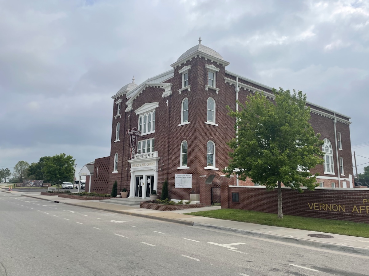
Vernon AME Church
Geophysical Survey conducted in October 2020 in partnership with the Oklahoma Archaeological Survey.
Vernon AME Church represents the first site in Greenwood that we chose to explore as a team. Our mission at the request and guidance of church leadership was to uncover more about the church’s history as one of the only structures in the business district of Greenwood that remained partially intact after 1921, as well as to explore buried, but previously undocumented cultural resources, in service of the church’s members. To learn more about the results of our Ground-penetrating radar and Gradiometry surveys of property surrounding Vernon AME Church, please review the attached Geophysical survey report.
Photo provided courtesy of the MHTT Project Directors.
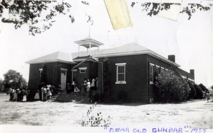
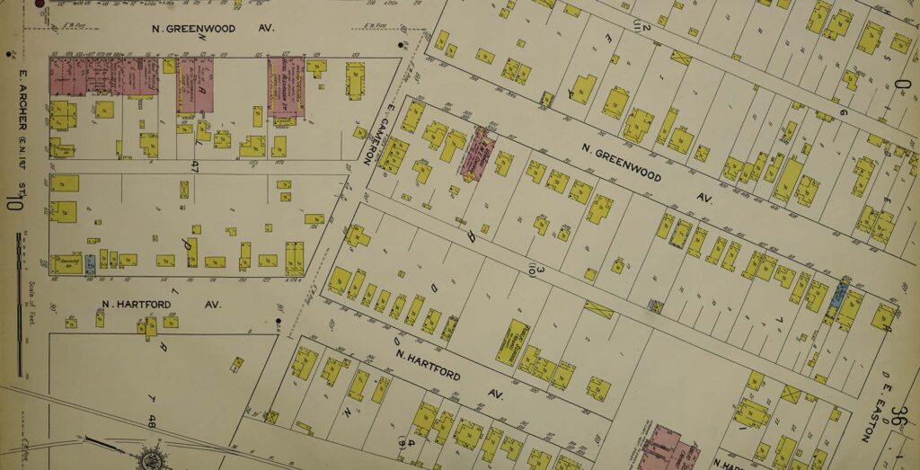
Dunbar Grade School
Geophysical Survey conducted in October 2020 in partnership with the Oklahoma Archaeological Survey.
The area between Vernon AME Church and the Oklahoma Ironworks Building corresponds to the first location of the Dunbar Grade School, the second site in Greenwood that we chose to explore as a team. With permission from the Tulsa Development Authority, who manage this property, we sought to uncover the buried foundations of businesses, schools, churches, and residential structures that survived the attack in 1921 and subsequent periods of destruction. What we discovered through Ground-penetrating radar and the visible exposure of structural features include the possible foundation of the old Paul Lawrence Dunbar Grade School, labeled on 1915 Sanborn maps as the “Negro Public School” before it moved to its more recent location on East Pine Street. To learn more about the results of this Fall 2020 field season and what was revealed through Ground-penetrating radar and Gradiometry within the surrounding property of the Tulsa Development Authority please review our Geophysical survey report.
Photo provided courtesy of the The Gateway to Oklahoma History, crediting The Oklahoma Historical Society.
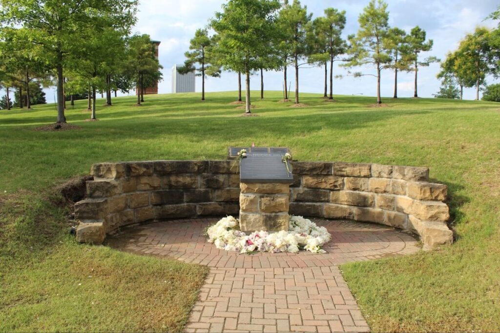
Standpipe Hill
Archaeological Survey conducted in June 2021 by the MHTT Archaeological Field School Team.
The third site in Greenwood that we chose to explore as a team was Standpipe Hill. While the previous sites we explored using only remote sensing, this was the first site in Greenwood where our survey methods included a geophysical survey, a pedestrian survey, surface artifact collection, aerial drone imagery, LiDAR, and tree analysis. Our mission under the supervision of the Oklahoma State University, as the property owners, was to uncover possible intact foundations of businesses, schools, churches, and residential structures underground that survived the attack in 1921 and subsequent periods of destruction. What we discovered through surface artifact collection and the visible exposure of structural features on the hill were the possible remnants of houses, store fronts, and one church in the Northwest corner of Standpipe Hill. The most complete foundation that we encountered on the hill was anchored in place by a grove of Hackberry trees growing in a square shape around the building. To learn more about the results of this Summer 2021 field season and what was revealed through Ground-penetrating radar and pedestrian survey within the surrounding property of Standpipe Hill please review our archaeological survey report.
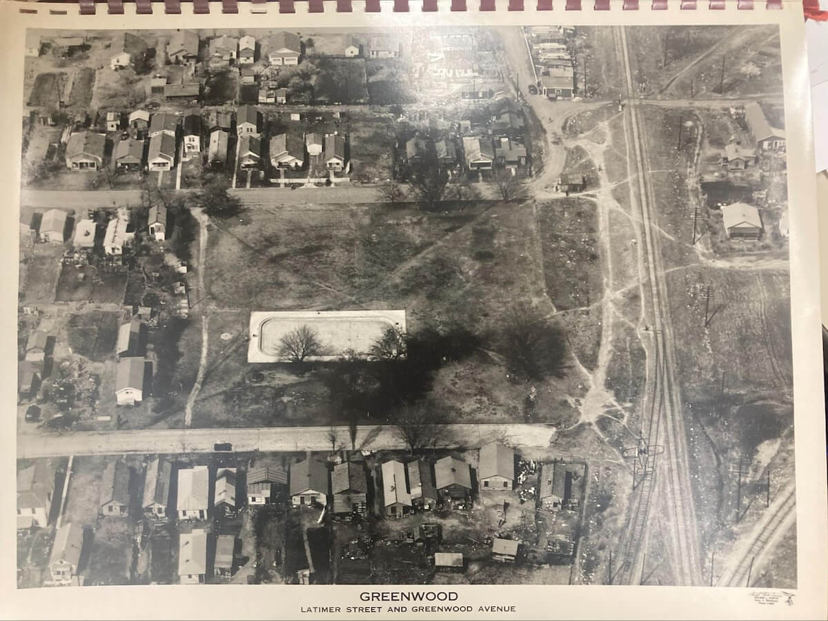
B.S. Roberts Park
Archaeological Survey Conducted by the Mapping Historical Trauma in Tulsa, 1921-2021 Project.
BS Roberts Park (Northern Extension)
Progress report: June 2022 to March 2023.